North Aegean SeaCHALKIDIKI

Chalkidiki or Halkidiki , is a peninsula and regional unit of Greece, part of the Region of Central Macedonia in Northern Greece. The autonomous Mount Athos region constitutes the easternmost part of the peninsula, but not of the regional unit.

The capital of Chalkidiki is the main town of Polygyros, located in the centre of the peninsula. Chalkidiki is a popular summer tourist destination.

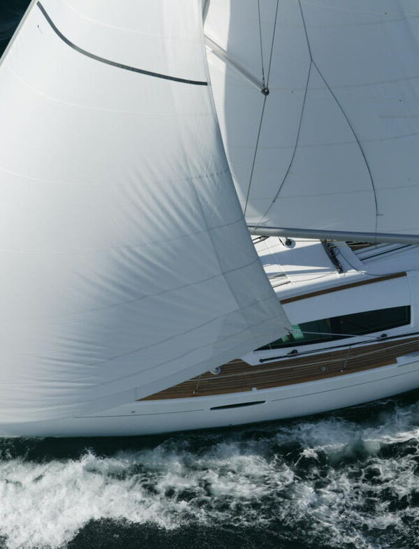
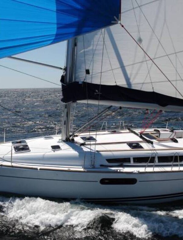
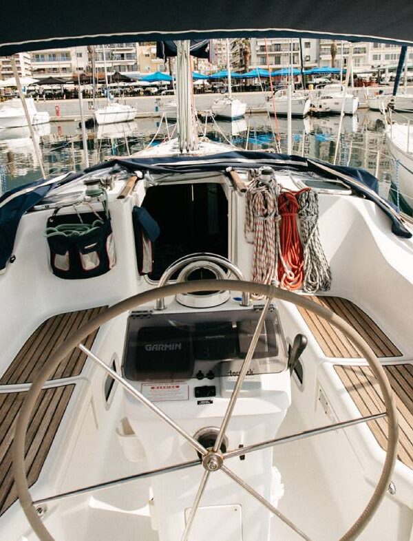
Halkidiki actually holds the first place in the regions with the longest coastline in Greece which makes it a very favorable place for yacht sailing. One of the factors that make Halkidiki the ideal place to enjoy sailing is its pleasing weather conditions. The weather in Halkidiki is generally Mediterranean, meaning limited rainfall, a mild winter season and a perfect summer climate. Yacht cruising or sailing in Halkidiki is an amazing experience during the summertime due to the warm daytime sunshine and the cool night breeze.

Berthing

There are some harbors , in Chalkidiki, but there are several attractive anchorages around the three legs of Chalkidiki.
Also there are two marina’s :

40°04.524'N, 023°47.535'EPorto Carras Marina

Address: Sithonia, 63081, Chalkidiki, Greece

39°55.700'N, 023°42.350'EMiraggio Marina

Address: Kanistro, Paliouri, Halkidiki 63085, Greece

40°04.524'N, 023°47.535'EPorto Carras

Porto Karras or Porto Carras is a fancy marina on the W side of the Sithonia . It is located within the Porto Carras complex. An assistant with an inflatable will meet you and guide you to your berth.

Communication

It is best to make advance reservation by calling ahead. On approach hail the marina on VHF channel 09.

Navigation

There are flashing green and red lights at the marina entrance, quite tight but with a depth in the middle of 5.5 meters

39°55.700'N, 023°42.350'EMiraggio marina

Communication

Calls on VHF channel 11.

Navigation

Entrance is well protected and located south west of the Marina. DANGERS: Avoid Aghios Nikolaos reefs 1.30 miles east when coming from Porto Koufos or going around Kassandra fingertip. Better to stay at least half a mile north of the coast line. Night approach without any peculiar risk.

Berthing

Careful berthing service provided by an attendant with inflatable.

Anchorages

39°57.700'N, 023°55.223'EPorto Coufo

Porto Koufo or Koufo is reputed to be one of the largest natural harbors in Greece. It is a beautiful harbor wooded, and surrounded by red cliffs. A large number of fishing boat and some charter boats operate from here.

It provides an excellent shelter although there can be occasionally violent gusts when a S wind blows strong.

Navigation

The approach to Porto Koufo is straightforward from the E , the fairly narrow entrance is well marked with green and red lights.

40°20.100'N, 023°55.200'EAmmouliani

Ammouliani is a small island across from Ouranoupoli . It provides very good shelter.

There are several anchorages on the island but if you are to leave the boat for a visit to Mt. Athos it is best to leave her in the small harbor of the village.

40°19.458'N, 023°53.653'EFteiis Bay

A pleasant bay on the south side of the island.

40°19.100'N, 023°54.800'ETsaki Bay

A pleasant larger bay on the south side of the island. Anchor in sand. Good holding. Loud music plays during the day in summer, though not at night. A smaller one in the north-west is quieter. Make sure your anchor is holding in the weeds.

Warning: Beware of shallow rocks, one perfectly visible, if moving between the southern and northern bays.

40°02.515'N, 023°59.533'ESikias

Sikias or Sykias , also refered to as Skala Sikias is a wonderful cove well protected frequented by local fishermen.

Warning: There are several rocks and reefs on the N side of the cove.

There are a number of places to anchor around the bay, with varying protection.

The bottom is mostly sand with some weed. Good holding.

With prolonged north-easterly winds a swell comes into the bay. Some protection can be gained by tucking into the deeper coves on the southern side of the bay, including behind the breakwater in the central cove in the south.

40°5.5041′N, 23°58.7047′ESarti

In Sarti, about 5 miles north. It is possible to anchor off the Sarti beach and dinghy ashore here. Approach the anchoring point with care to avoid the rock patch about 0.25 miles offshore and just north of this latitude.

Diaporos Island

The region of Diaporos or Dhiaporos island is a yachtsman’s paradise. There several deserted landlocked coves surrounded by pine trees and sandy beaches. There are many reefs where one can snorkel in the clear water.

Communication

Coast Guard – VHF channel 12
Olympia Radio – VHF channels 26 & 27

Navigation

Approach to the region is either from the S Passage through the narrow channel between Diaporos Island and Cape Xifaras or through the wider N Passage between the NE of Diaporos and the Peristeri Islands.

Warning: A good detailed chart and a lookout are necessary because of the many reefs surrounding both passages.

Anchorages

40°13.4′N, 23°46.9′EKrifos Bay

Krifos Bay is on the N side of Diaporos Island. Proceed between Ambelisti Island and Cape Kokakies. The bottom is sand, good holding.

Anchor as far south as the head of the bay in about 6m or down to 3m within about 60 m of that point in the arc to the west through south and around to the north-east.

There are other suitable anchoring points in the bay.

40°12.2′N, 23°46.8′EKoumaroudes Bay

Koumaroudes Bay on the W side of Diaporos Island. The bottom is sand, good holding.

40°11.4′N, 23°47.3′EMesopanayia Bay

Mesopanayia Bay is on the S side of Diaporos Island. The bottom is sand, good holding.

40°13.6′N, 23°45.4′EDimitriaki Bay

Dimitriaki Bay is on the mainland and E of Diaporos Island. The bottom is sand, good holding.

40°13.9′N, 23°44.3′EAyios Nikolaos

Ayios Nikolaos is a village on the mainland and NW of Dimitriaki Bay. The bottom is mud, good holding.

Chalkidiki Boats

Rent yachts for trip in Chalkidiki from Kavala Marina